
CONTACT US
Let's get in touch..
Curious to hear more about what we can offer? Don't hesitate to fill out the contact form and get in touch.
CONTACT DETAILS
AerroMetry Drone Surveys LLP.,
Office 101, Shubarambh Apt., Front of Kulkarni Garden, Sharanpur Road, Nashik - 422001.
hello@aerrometry.com
+91-8007008251
Office 101, Shubarambh Apt., Front of Kulkarni Garden, Sharanpur Road, Nashik - 422001.
hello@aerrometry.com
+91-8007008251
AERO
SurveyX
AeroSurveyX is industry standard application primarily used to capture the plinth points.
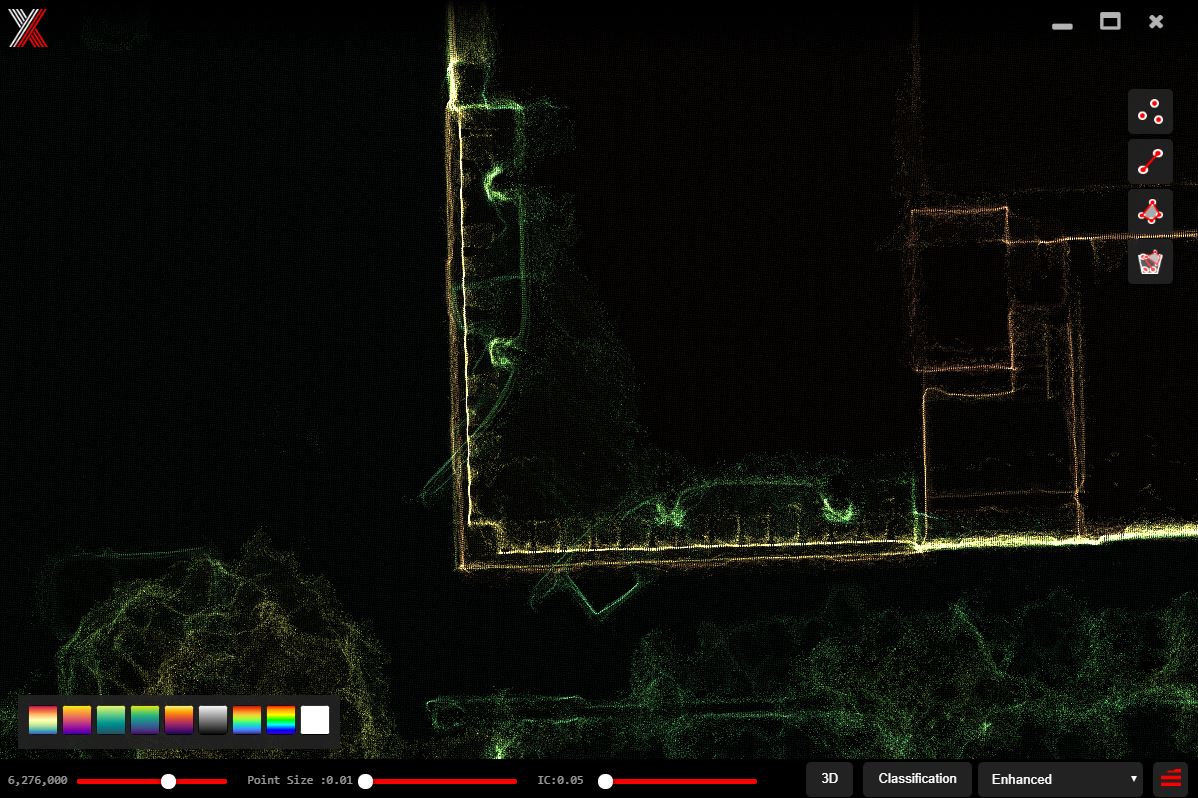
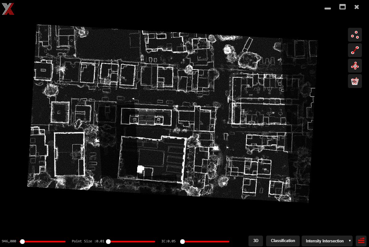
Capturing structre footprints on the 3d models is quite hard. Aero SurveyX Enables you to get those points quickly and easily. With our inhouse developed tecnique "See Through Ray Tracing" it becomes quite easy to view the footprint sections of the structure. Aero SurveyX Comes with variety of features as listed below.
4 See Through Modes
Aero SurveyX comes with 4 different see through modes. Which enables you to get the accurate point easily while capturing the footprints of the structures. These 4 modes takes various aspects to find the proper edges along with the estimation for the footprint.
Classified Markings
Aero SurveyX comes with support for classified denseclouds. If your densecloud has been classified into various categories you can turn of unnecessary layers and focus on the only class you want to mark for.
AutoCAD support
Aero SurveyX supports output for AutoCAD. Aero SurveyX is capable to deliver your markings in the industry standard CAD applications.
Potree Support
Aero SurveyX has support for the potree json format so that you can export the markings for potree and import them inside potree.
One file to open all
Aero SurveyX generates it's own ASX file which contains all the details like location of dense cloud, measurements etc. so that you dont have to add each one individually.
Adjustable for capturing footprints
Each project is different and we understand. Thus Aero SurveyX gives you ability to adjust the settings for each and every project so that you can easily capture the footprints of the structure.